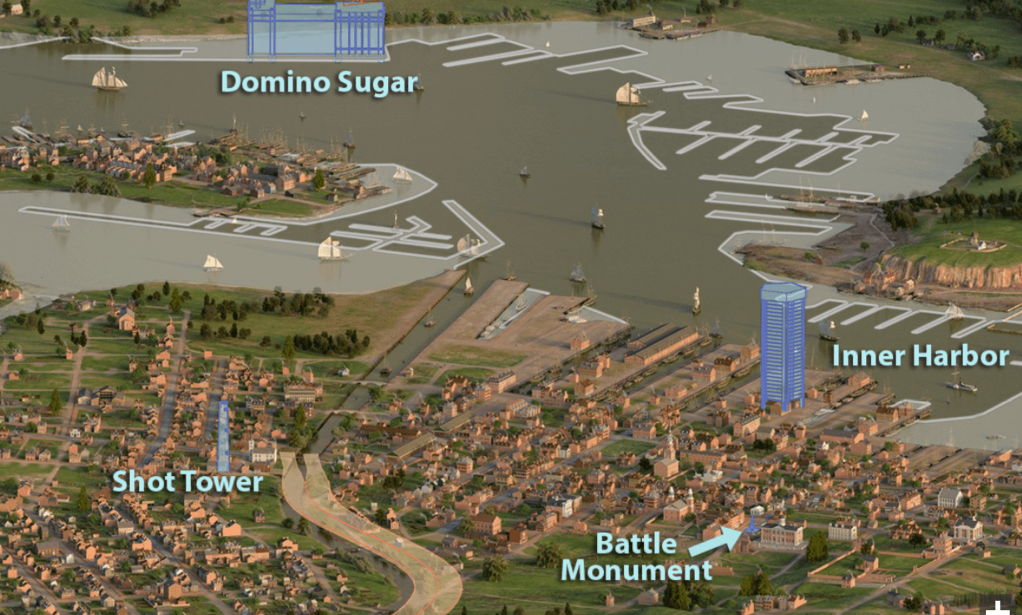
Visualizing Early Baltimore

Georeferenced, digitized, and constructed a digital elevation model (DEM) of historic Baltimore topography
As an intern at UMBC's Imaging Research Center, I played a pivotal role in the Visualizing Early Baltimore project, focusing on the digitization and processing of historic survey maps provided by Johns Hopkins University. I meticulously created a comprehensive georeferenced mosaic from maps spanning different survey periods, involving significant georectification and iterative reviews to ensure both historical and geographical accuracy.
Upon completing the mosaic, I delivered a File Geodatabase (FGDB) to our computer science collaborators. They utilized this data to construct detailed digital 3D terrain models and later developed 3D representations of historical buildings, bringing early 19th-century Baltimore to life.
Working with these historical maps presented unique technical challenges—from georeferencing and georectifying to deciphering varied handwritten annotations—which provided profound insights into the diverse provenance of the data. Our work culminated in an interactive display exhibited at the Maryland Historical Society, serving as a significant educational tool that allows visitors to dynamically explore Baltimore circa 1815.
The most rewarding aspect of this project was applying my technical skills to contribute to the historical preservation and education of my hometown. This experience demonstrated the transformative power of merging historical records with modern technology to enhance public engagement with history. For more information, visit http://www.earlybaltimore.org/.